When you click on links to various merchants on this site and make a purchase, this can result in this site earning a commission. Affiliate programs and affiliations include, but are not limited to, the eBay Partner Network.
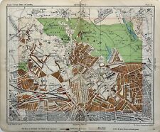
This antique street plan is from Philips\' Handy-Volume Atlas of London, third edition, published by George Philip & Son, London, 1907.
The map which folds in half is printed on one side only and measures 21 cm x 17.5 cm or 8\" x 7\".
This is an original antique, over 115 years old.
If you have any questions please don\'t hesitate to ask.