When you click on links to various merchants on this site and make a purchase, this can result in this site earning a commission. Affiliate programs and affiliations include, but are not limited to, the eBay Partner Network.
Austria-Hungary Hapsburg Empire Croatia Bohemia Silesia Vienna 1858-59 map Austria-Hungary Hapsburg Empire Croatia Bohemia Silesia Vienna 1858-59 map
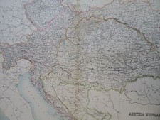
Kaiserthum Oesterreich,(Old Maps, 19th Century Maps, Europe, Austria-Hungary, Hapsburg Empire, Italy, Lombard-Venetian Kingdom, Bohemia, Silesia, Croatia, Transylvania, Vienna).Issued 1858-59, Vienna by Obenheimer. Map by A. Skrzeszewski.Uncommon mid 19th century color lithographed map.
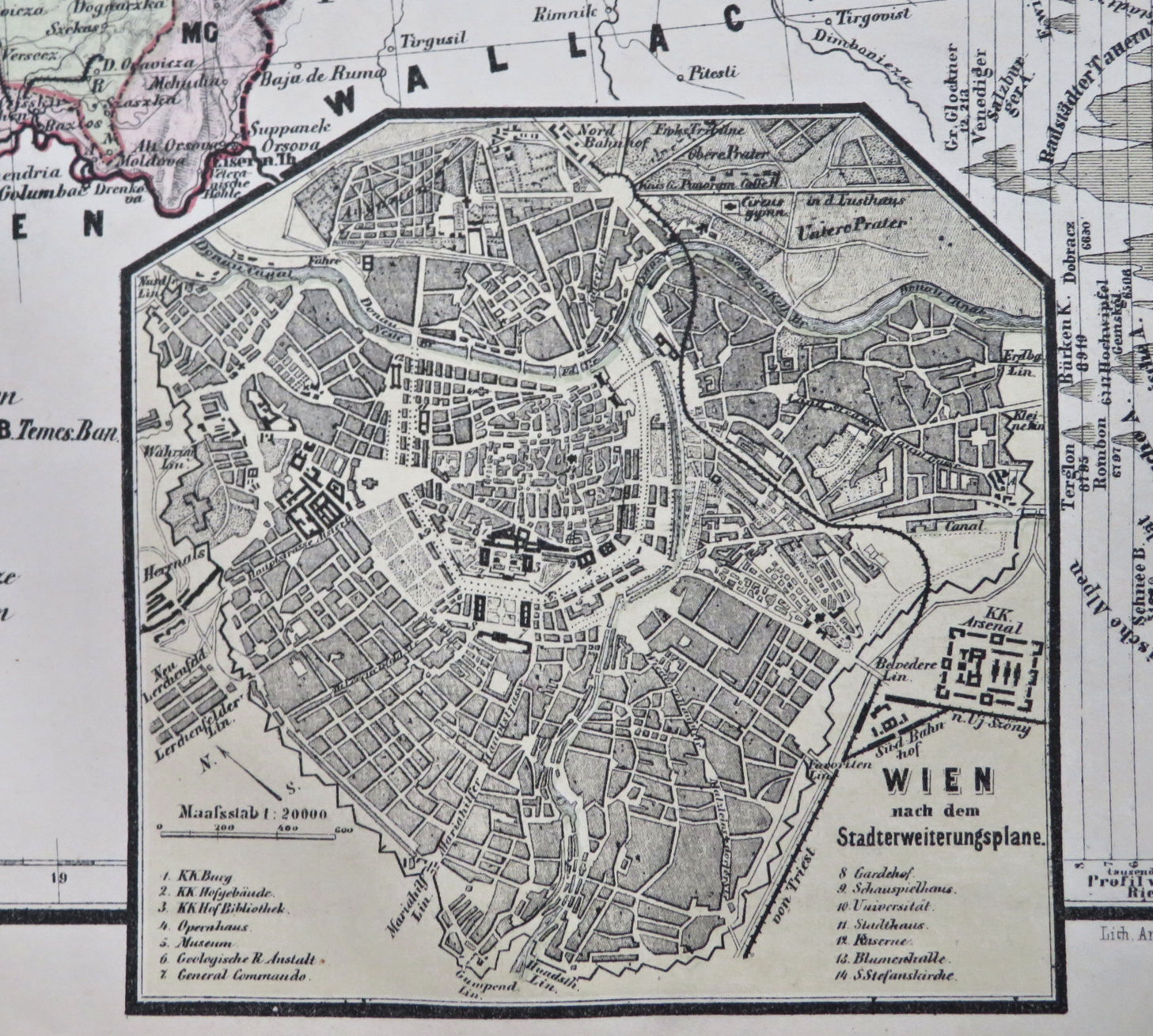
Inset plan of Vienna and a comparative profile of mountain heights running down the right side.
Well preserved, nice looking example with pleasing age patina.Original center fold as issued.Sheet Measures c. 18\" x 11 1/2\".Engraved Area Measures c. 15\" x 10\".Cartographic Reference(s):
Tooley\'s Dictionary of Mapmakers, vol. 4.[R33762].