When you click on links to various merchants on this site and make a purchase, this can result in this site earning a commission. Affiliate programs and affiliations include, but are not limited to, the eBay Partner Network.

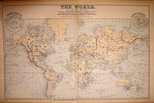
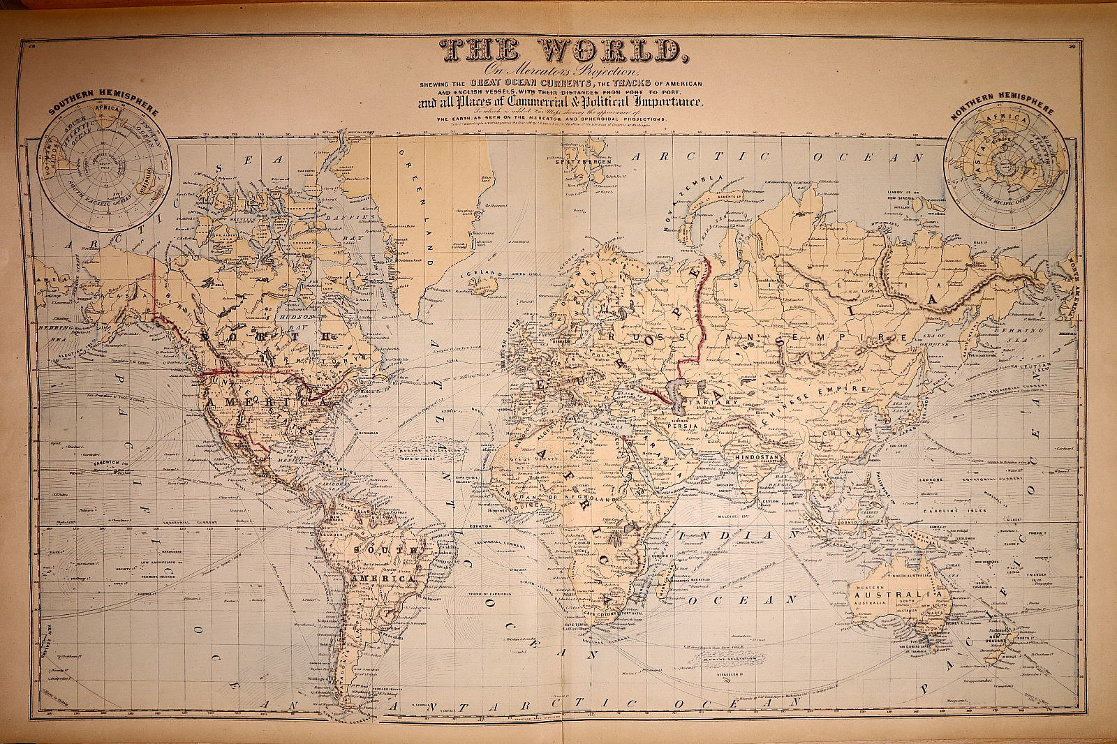
1880 Map of the World incl. Ocean Currents & Ship Routes & Distances (17x27)-#42:
$40.00
The product is a highly detailed and decorative 1880 map of the world, including ocean currents, ship routes, and distances. Measuring approximately 17\" x 27\", this antique original map is hand tinted with original colors and was published by F. W. Beers & Co. in the United States of America. It is a valuable piece of cartographic history, providing insights into the geographical knowledge and naval routes of the late 19th century. Free shipping and handling within the USA, with calculated shipping worldwide, ensure that this unique and historical map can be enjoyed by collectors and enthusiasts alike.I only ship to the address that you have provided to E-Bay.Thanks for looking.