When you click on links to various merchants on this site and make a purchase, this can result in this site earning a commission. Affiliate programs and affiliations include, but are not limited to, the eBay Partner Network.
ANTIQUE LOUISIANA STATE MAP
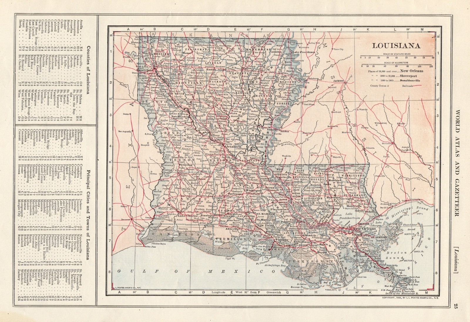
This is a vintage map of Louisiana which was carefully removed from an atlas.
It is dated 1908 on the bottom right corner.
The map measures approximately11.5 by 15.5 inches.
It is in very good condition - note light creasing, stain on the bottom left corner in the border, binding holes on the top edge, and there is another map on the reverse side.
Click HERE for more Louisiana maps in my store.
It will be carefully packaged in a plastic sleeve, and shipped within a cardboard mailing tube.
Please email with questions, we will answer your email promptly.
Please visit our store, Plaindealing Vintage Paper.