When you click on links to various merchants on this site and make a purchase, this can result in this site earning a commission. Affiliate programs and affiliations include, but are not limited to, the eBay Partner Network.

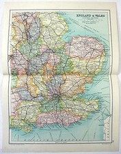
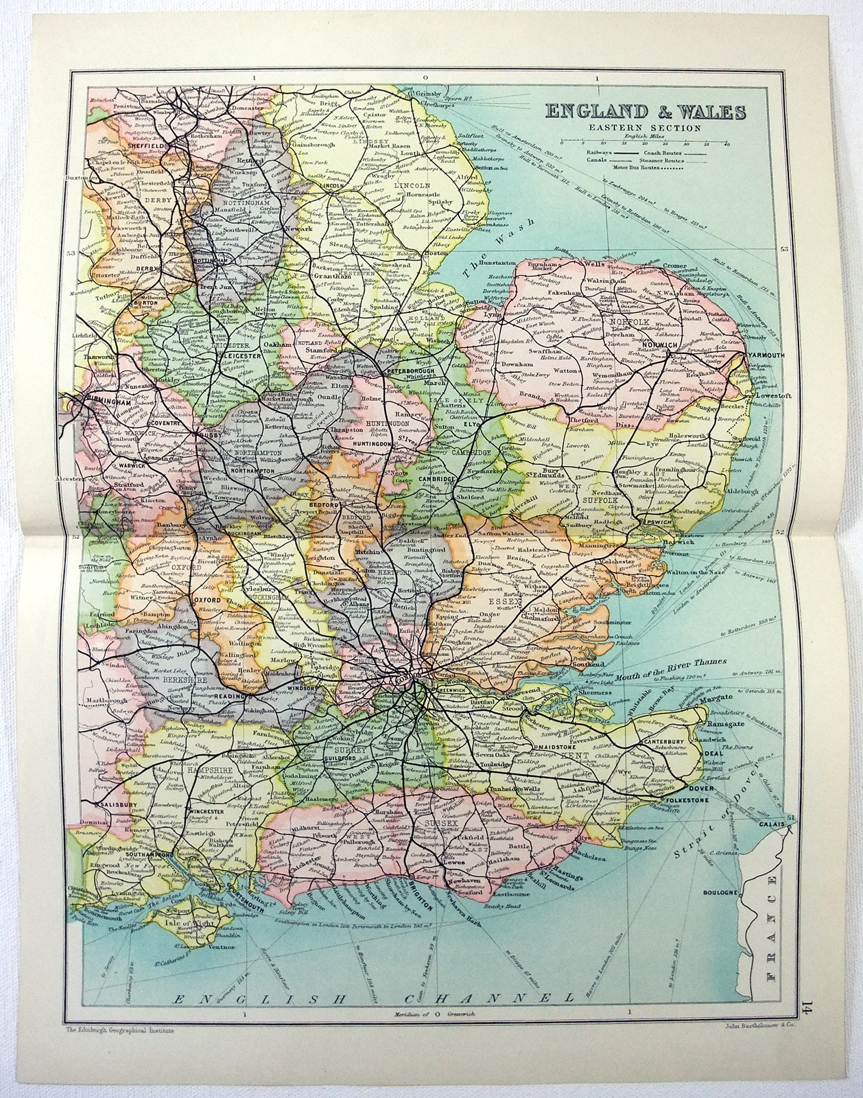
Eastern England & Wales - Original 1909 Map by John Bartholomew. Antique:
$19.00
Eastern England & Wales - Original 1909 Map by John Bartholomewand the Edinburgh Geographical Institute. Shows counties, cities, major towns, railways, coach routes, steamer routes, motor bus routes and canals. Plate 14 from The 1909 edition of Cassell\'s Atlas. A beautiful vintage Chromolithograph that measures approximately 13.87\" by 10.25\". Blank reverse.Free Shipping to anywhere in the US. Your order will always ship within ONE BUSINESS DAY, well packaged in a sturdy waterproof mailer and sent with a delivery confirmation.I ship worldwide.