When you click on links to various merchants on this site and make a purchase, this can result in this site earning a commission. Affiliate programs and affiliations include, but are not limited to, the eBay Partner Network.
Flat Earth Map
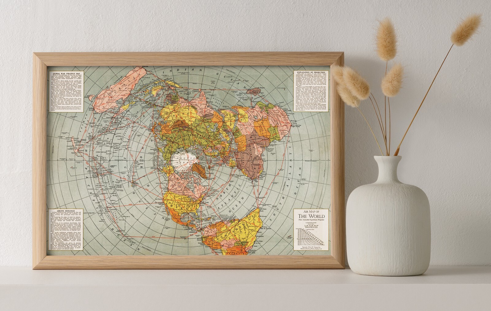
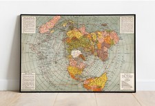
World War II Map of the World,
Polar Azimuthal Equidistant Projection
This is a view of the globe with the North Pole as the center, that is why the South Pole and much of the Southern Hemisphere is not visible in this map projection.
This is amodernUNFRAMEDreproduction of the original map-Frames areNOTIncluded
The Images Shown is for Illustration Purposes Only.
This Map Comes in 3 Sizes:
11"x16", 16"x24" and 23"x34"
We have moreFlat Earth Maps;you can find them in
Our StoreWe have moreWorldMaps; you can find them in
Our Store
REMEMBER, the smaller the map size the harder it is to read the text.
All Our Maps and Posters Are Made in the USA
Text indicating Global war strategy map, Airline distances, and Explanation of projection.
- Printed on premium 36lb matte paper with fade resistant archival inks and includes a white border on all sides to allow for matting and framing.
- Please note that there may be some variation in the color of the on-screen image and the actual item received. This is subject to the brightness and contrast of your screen settings.
- This is a modern UNFRAMED reproduction of the original print - Frames are NOT are the prints shipped?They are rolled and placed into a rigid tube or box or box.
-Is this available in a larger/smaller size.For smaller or larger sizes, email us.