When you click on links to various merchants on this site and make a purchase, this can result in this site earning a commission. Affiliate programs and affiliations include, but are not limited to, the eBay Partner Network.
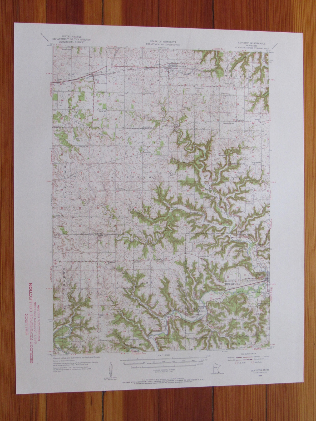
Lewiston Quadrangle Minnesota- 15 Minute Series Published by the United States Geological Survey Year Published: 1956 Edition Year: 1954 Places: Lewiston, Peterson, Rushford, Rushford Village, Utica, Wyattville Water Bodies: Pine Creek, Root River, Rush Creek, Stockton Valley Creek
Map may have red institutional rubber stamp and/or writing in the margin - please see the photograph. The map in the photo is the actual map you will receive. Map sheet measures approximately 17 X 21 inches.
All maps we sell are original USGS topographic maps, printed in the year stated in the title. We do not sell reproductions. Maps are shipped rolled up in a sturdy tube.
[7751]