When you click on links to various merchants on this site and make a purchase, this can result in this site earning a commission. Affiliate programs and affiliations include, but are not limited to, the eBay Partner Network.

QINGDAO 1924 Tsingtao China Original Vintage City map plan 青岛市:
$85.00
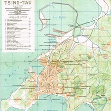
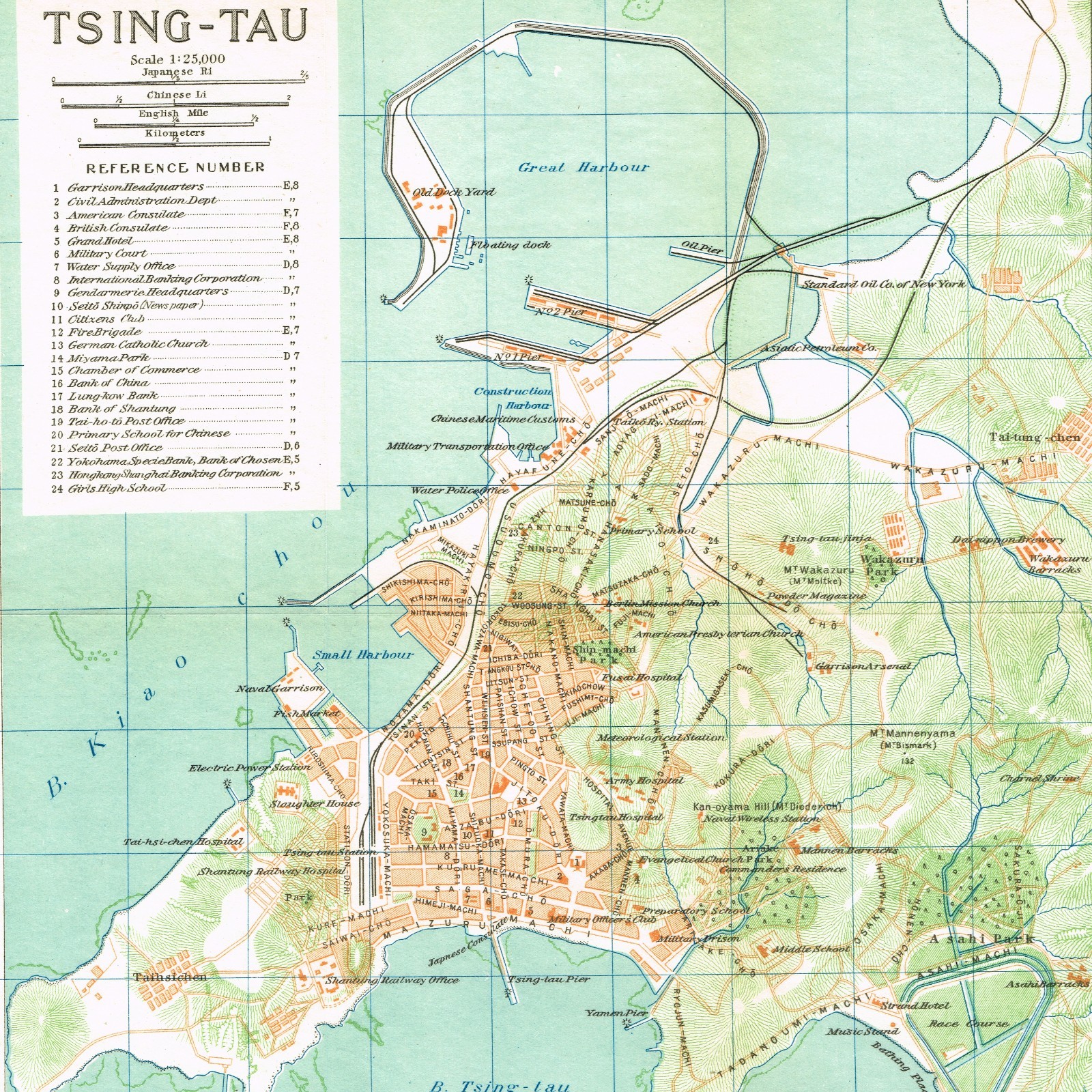
size: 10 inch x 11 inch 25 cm x 29 mapThis is a detailed historical map of Tsing-tau (modern-day Qingdao, China), created during the period of Japanese administration or influence in the early 20th century.Here is a breakdown of the key information visible on this map:Map Overview - Scale: 1:25,000. It includes conversions for Japanese Ri, Chinese Li, English Miles, and Kilometers in the top-left corner.
- Grid System: The map is divided into an alphanumeric grid (A–I horizontally, 1–10 vertically) for easy location tracking.
Key Historic Landmarks & InfrastructureThe index on the left provides specific grid coordinates for prominent colonial, military, and civic locations: - Government & Consulates: Features the Garrison Headquarters (E,8), Civil Administration Department, and the American (F,7) and British Consulates (F,8).
- Commerce & Industry: Shows major global trade footprints of the era, such as the Standard Oil Co. of New York and Asiatic Petroleum Co. near the Great Harbour (top right), alongside major financial institutions like the Hongkong & Shanghai Banking Corporation and the Bank of China.
- Maritime Infrastructure: Identifies the Great Harbour, Small Harbour, Construction Harbour, several piers (No. 1 Pier, No. 2 Pier, Oil Pier), a floating dock, and the Tsing-tau Pier extending into the bay.
- Transportation: Clearly outlines the Shantung Railway Line running through the city down to the Tsing-tau Station (C,8).
- Military Presence: Marks various barracks (Moltke Barracks, Iltis Barracks, Bismarck Barracks), a powder magazine, a naval garrison, and a military prison.
Topography & Parks - Hills: Displays local peaks named during the German colonial period but often noted with Japanese or alternative names, such as Kan-oyama Hill (Mt. Diederichs) and Mt. Mannenyama (Mt. Bismarck).
- Green Spaces: Shows Asahi Park (bottom right corner) featuring a racecourse, sports ground, and bathing beach.
|