When you click on links to various merchants on this site and make a purchase, this can result in this site earning a commission. Affiliate programs and affiliations include, but are not limited to, the eBay Partner Network.
1865 ORDNANCE SURVEY OF JERUSALEM
RARE 1980 ARIEL EDITION WITH
FOLDOUT PHOTOS & MAPS
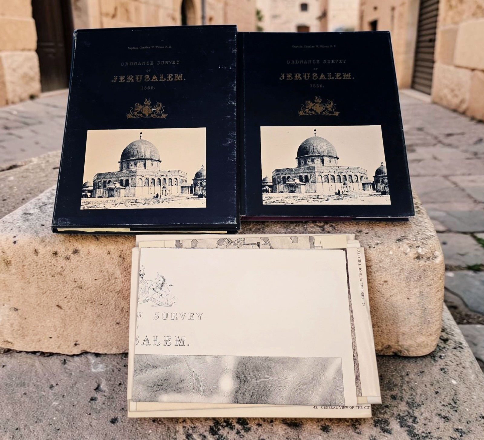
Available for purchase is a RARE reprint edition of the "1865 Ordnance Survey of Jerusalem".Conducted from 3 October 1864 to 16 June 1865, the surveywas the first scientific mapping of Jerusalem and the first official British Ordnance Survey conducted outside the United Kingdom. Led by Captain Charles William Wilson of the Royal Engineers, it provided a precise topographical framework that served as the foundation for modern archaeological and geographic research in the region. Major discoveries included the identification of "Wilson's Arch" near the Western Wall and the mapping of extensive underground structures beneath the Temple Mount. The final report and maps were originally published in 1866 and very few examples have survived. This book and accompanying portfolio of folded maps and plates was reprinted by Ariel Publishing House in Jerusalem in 1980. This facsimile edition is also quite scarce, especially with the portfolio.This historically important book measures approximately 8 1/2" x 11" and is bound in maroon cloth boards with a dust jacket. There are 90 numbered pages of text, 39 pages of photographs (74 total photos), and 28 plates of maps and diagrams. The book also includes facsimile copies of handwritten notes describing thenames of streets, buildings and points of interest in both English and Arabic. The portfolio includes folded copies of larger photos (#40-43 in the book's photo index, labeled as "Panoramic View of the City"), larger copies of several book plates, and 4 large maps not listed in the book index. The largest map measures about 44 1/4" x 28 3/4" and is a facsimile of the detailed map showing the entire city that accompanied the original 1865 report. In all, there are 10 folded items in the portfolio, housed in a cardboard sleeve that has a cover matching the book's dust cover.I purchased this book at a recent estate sale in Virginia. The front board paper has a small label from a bookseller in Jerusalem. Ariel Publishing House reproduced several classical works related to the Holy Land during the 1970's and 1980s.Condition of this interesting book is VERY GOOD. The boards are slightly bowed and there is some light foxing on the half title and copyright pages. The outer page edges have some age discoloration and spotting. The dust jacket and cover on the portfolio have some wear. The folded maps and photos are in good shape with some minor wear at the edges. Overall,this interesting collection looks great and would make a wonderful addition to any library. Please take a close look at the many photos I've provided and judge condition for yourself. I'm confidentyou'll be very pleased with this purchase.If you collect history-related books, especially those related to the Holy Land, don't miss your opportunity to purchase this offering. As I mentioned previously, this reprint edition is quite scarce, especially with the accompanying portfolio of maps and photos. My Buy It Now price of only $155 is a bargain for this hard-to-find set. So, buy it now before someone else beats you to the deal!While you're here, please check out my other listings by clicking on the link below. Whenever possible, I'll be happy to reduce shipping for combined purchases.See my other listings for more great items!
Front Side of Book
Rear Side
Showing Dust Jacket Removed
Title Page
1980 Facsimile Edition
Table of Contents for Text Portion
List of Photos
Partial List of Plates & Maps
History of Survey
Examples of Photos
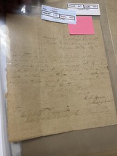
Facsimile of Handwritten Notes Related to Naming of Streets
Examples of Plates
Large Foldout Photos, Plates & Maps
Examples of Folded Plates
Large Foldout Map of Entire Jerusalem City
Large Foldout Panoramic Views
Example of Foldout Photo
Slipcover for Maps & Plates
Inside of Plate/Map Holder
Payment is due immediately after purchase. Virginia residents will need to add 5.3% state sales tax to the final purchase price. E-bay has also started to collect sales tax in several other states recently, something beyond my control.
For international purchases, the buyer is responsible for all customs fees. The declared value listed on the customs form will be the final selling price of the item. I will not list the item as a "gift" to avoid customs charges.
If you're the lucky buyer of this Ordnance Survey of Jerusalem book, it will come to you VERY carefully packaged with FREE ECONOMY SHIPPING to any U.S. destination. International buyers will need to message me for a shipping quote.
E-bay no longer allows sellers to offer buyers the option of purchasing shipping insurance. I will insure this item at my own expense.
txzj pxzj4754 txzj60