When you click on links to various merchants on this site and make a purchase, this can result in this site earning a commission. Affiliate programs and affiliations include, but are not limited to, the eBay Partner Network.
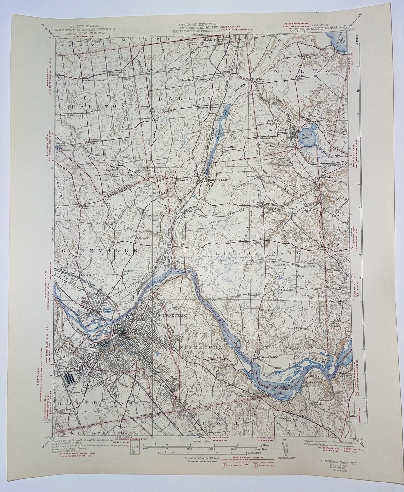
This is an authentic 1930 edition, 1941 reprint from the U.S. Geological Survey and NOT a computer reproduction. Original vintage topographical map of the Schenectady , New York area including Clifton Park, Niskayuna, Glenville, Charlton, Ballston, Malta, Rotterdam, Mohawk River, Ballston Lake, Round Lake, and railroad lines. Good condition. Sheet size is 20"h x 16.5"w.
Lots of intricate details and geological contours. On the back is a description of topographic symbols and map guide.
Perfect for the historian, map-lover, the curious or just as a conversation starter. Wonderful and rare. Vintage maps such as this make great gifts and look great framed for the home or office!
This item will ship in a tube. If you want it flat (unrolled) there will be an extra fee.