When you click on links to various merchants on this site and make a purchase, this can result in this site earning a commission. Affiliate programs and affiliations include, but are not limited to, the eBay Partner Network.
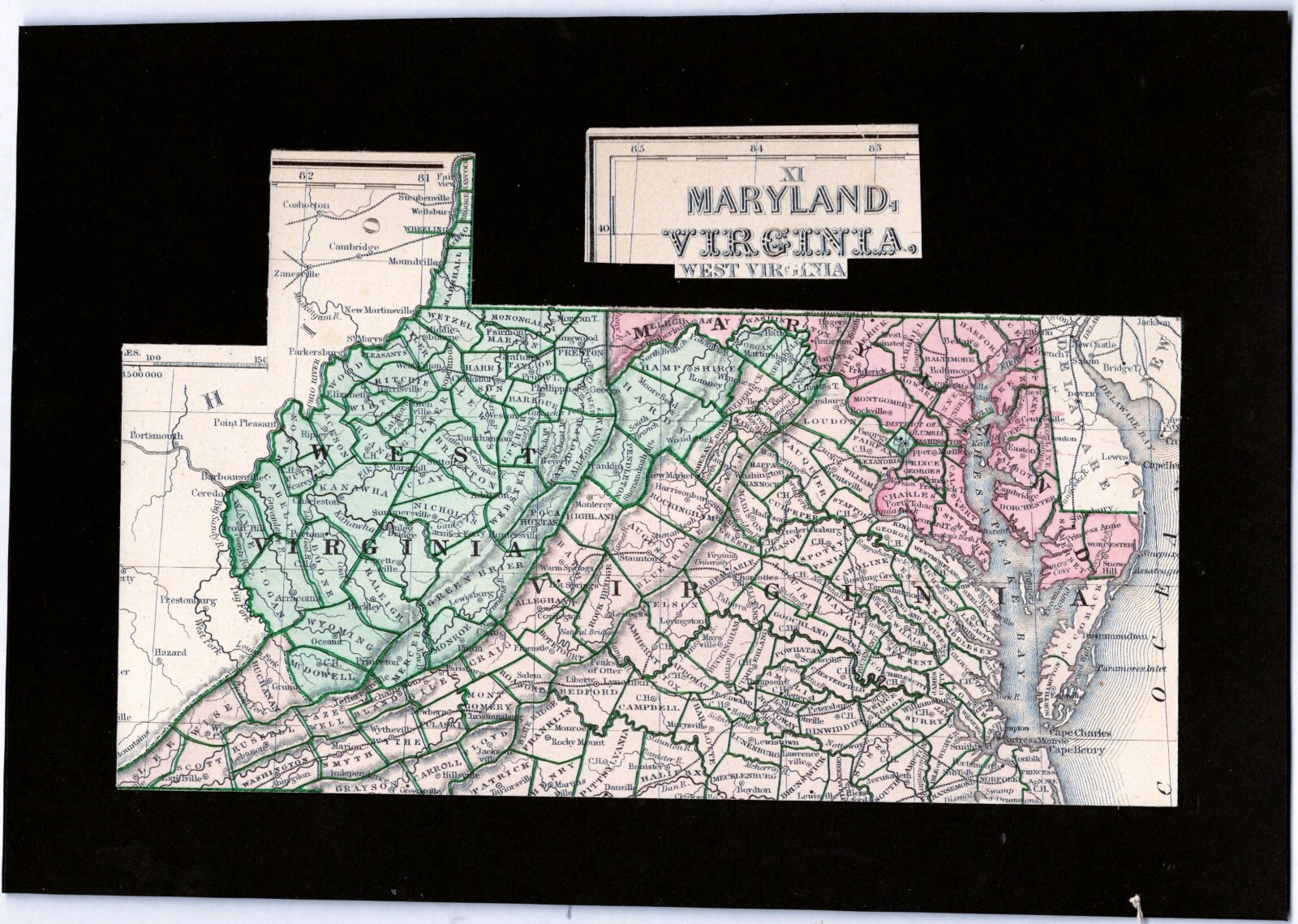
Original Antique1865 Civil War Era Mitchell MapWest Virginia ,VA &MD
During the Civil War, 48 counties in western Virginia separated from Virginia to form the new state of West Virginia
In the summer of 1861, Union troops drove Confederate troops away from the northwestern counties of Virginia.
This allowed Unionists to form a government in Wheeling and claim jurisdiction over all of VirginiaPresident Lincoln proclaimed that West Virginia would officially become a state on June 20, 1863.
This map is one of the earliest maps showing West Virginia separated from Virginia.Showing the original 58 Virginia counties that separated in 1863.The map is undated but it can not be later than 1865 since it does not show Mineral County, WV which was created from Hampshire County on Feb. 1, 1866. Mineral County was the first new county created in WV after the War.A section of Mitchell map No. XI page 11archivally mounted on acid-free black cardstock
10.3\" x 7.2\"beautifully and carefully handpainted coloration