When you click on links to various merchants on this site and make a purchase, this can result in this site earning a commission. Affiliate programs and affiliations include, but are not limited to, the eBay Partner Network.
Note for US customers: 0% duty applies for importing this item to the United States. (HTS # -
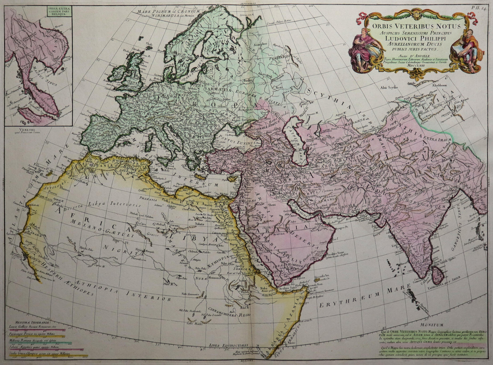
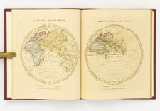
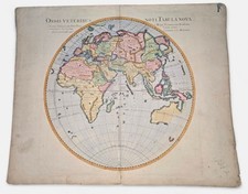
Orbis veteribus notus
(Old World)
This is an original, colored copper engraved map of the old world ean Baptist D\'Anville / F. Santini from 1780.
- Title: Orbis veteribus notus
- area or Location: Representation of the ancient world at the time of Christ\'s birth, encompassing the continents of Europe, North Africa and Western Asia
- Cartographer: Jean Baptist D\'Anville (1697 - 1782) - Edition by F. Santini, Venice
- Year: 1780
- Plate area size: 49x66cm
- Remarks: This extremely rare, detailed and decorative map shows the Old World known in antiquity. The map area includes Europe, North Africa and large parts of Asia.
English description:
A rare, detailed and very decorative map of the Ancient World, published by Jean Baptist D\'Anville (1697 - 1782) / F. Santini in Venice in 1780. The map depicts Europe, the North of Africa and most of Asia. This original copper engraving measures 49 x 66 cm and is in good condition. There is some very light browning due to age.
- - - International buyers welcome. If you have any questions, please don\'t hesitate to ask. - - -
For the search engine: view map engraving
--- Upon request, we will be happy to issue you a free certificate of authenticity ------ If you wish, we will gladly provide a certificate of authenticity free of charge ---
dewabit
Note for US customers: 0% duty applies for importing this item to the United States. (HTS # 97021000). This is an original, colored copper engraved map of the old world ean Baptist D\'Anville / F. Santini from 1780. area or Location: Representation of the ancient world at the time of Christ\'s birth, encompassing the continents of Europe, North Africa and Western Asia Remarks: This extremely rare, detailed and decorative map shows the Old World known in antiquity. The map area includes Europe, North Africa and large parts of Asia. A rare, detailed and very decorative map of the Ancient World, published by Jean Baptist D\'Anville (1697 - 1782) / F. Santini in Venice in 1780. The map depicts Europe, the North of Africa and most of Asia. This original copper engraving measures 49 x 66 cm and is Recommended products Provided by Orbis Veteribus Notus - Zatta 1785 - Ancient World - Europe View product Western Hemisphere - America - Schraembl / d\'Anville 1786 - Original View product Map of America by D\'Anville and Pownall - America - Reilly 1795 - Original View product Orbis Vetus in Both Continents - Worldmap - Vaugondy 1752 -Original Engraving View product The Known Earth when The Gospel - Lamy 1701 - Antique World - Ancient World View product South Pole - Rigobert Bonne 1780 - World map on the Equator - Antarctica View product Turkey, Arabia, Persia - Delisle / Dezauche - Original from 1780 View product France in antiquity - d\'Anville 1760 - Gallia Antiqua Ex Aevi Romani... View product